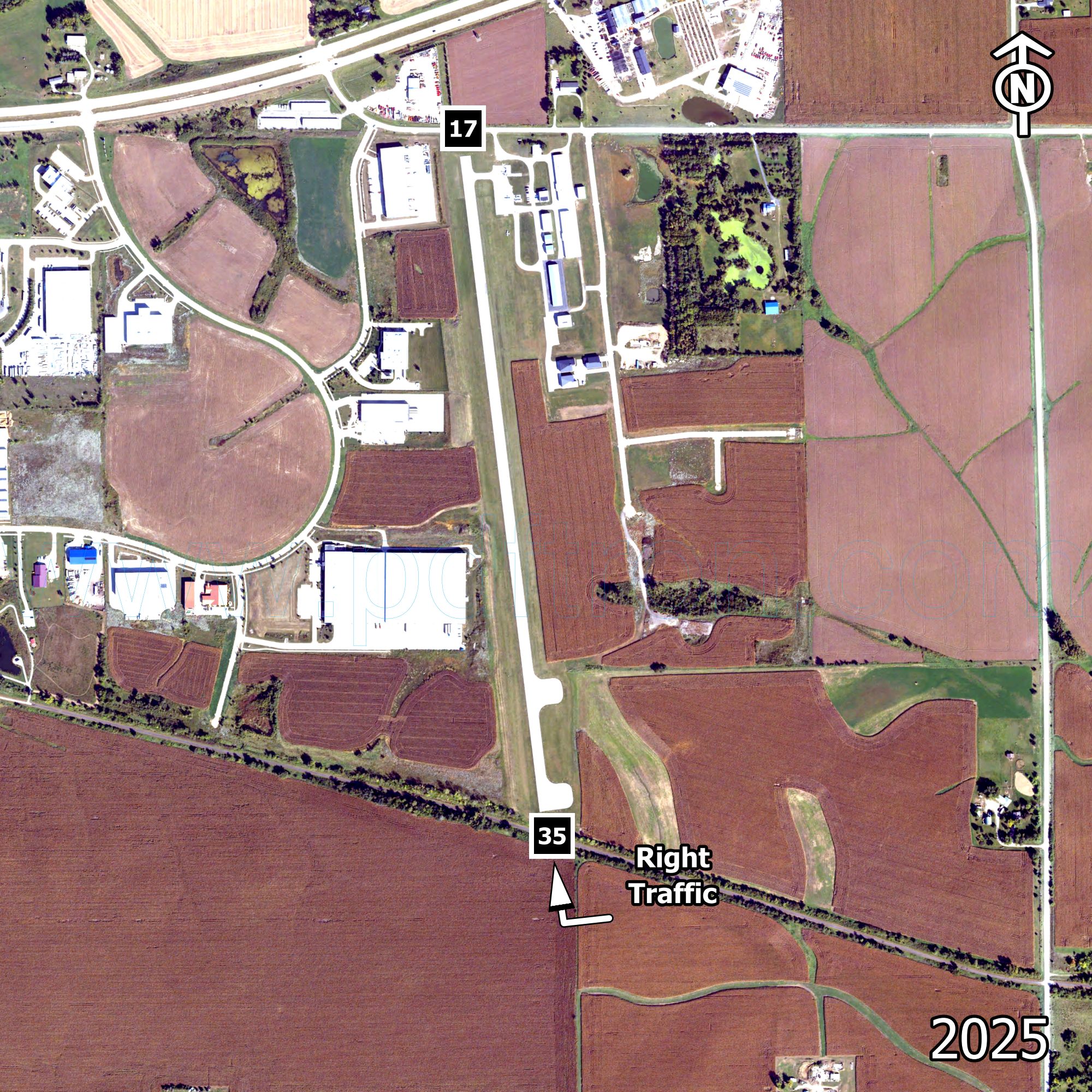
Marion (C17)
Marion
| Runway | Surface | Width | Length | Lights |
|---|---|---|---|---|
| 17/35 | ASPH | 60 | 3775 | MIRL |
| Approach Lights | VGSI | Pattern |
|---|---|---|
| NONE / NONE | NONE / NONE | 1000L / 1000L |
| Manager: | Peggy Morris | (319) 360-0865 |
|---|---|---|
| Operators: | Luxair Aviation | (844) 589-2376 |
| P & N Flight & Charter | (319) 377-0457 | |
| From City: | 1 mile east | |
| Fuel: |
100LL MOGAS JetA |
|
| Rotating Beacon: | - | |
Communications
| CTAF | UNICOM | Lights | Ground Control |
|---|---|---|---|
| 122.700 MHz | 122.700 MHz | 122.700 MHz | - |
| Tower | Approach | Weather | Clearance Delivery |
|---|---|---|---|
| - | - | - | - |
| - | - | - |
- Latitude
- 42° 1' 47"
- Longitude
- 91° 31' 54"
- Elevation
- 862 ft. AMSL